Program Overview
Build capability that moves between classroom, lab, field, and system.
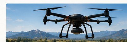
A practical pathway for responsible unmanned field operations and data collection.
Program requirements
Complete the published certificate credit sequence and required applied competency work defined in the approved catalog.
Learning outcomes
- Plan field missions.
- Operate within safety and regulatory constraints.
- Collect geospatial data.
- Produce mission documentation and deliverables.
Representative curriculum
Representative curriculum is a planning view; the approved catalog controls final requirements and sequencing.
Admissions requirements
Apply through the shared Stella Nova application track and submit prior academic or technical records needed for placement and transfer review. No unstated prerequisite is implied.
Career pathways
Industry & applied context
Program work emphasizes responsible field deployment of unmanned platforms, sensing, mapping, communications, autonomy, and evidence-producing data workflows.
Faculty & practitioners
Approved faculty and practitioner profiles will appear here when program associations are published. View the Polytechnic people directory.
Program FAQs
How do I apply?
Polytechnic routes applicants through the shared Stella Nova application track while preserving the selected Polytechnic program context.
Can prior learning be reviewed?
Yes. Prior coursework, certifications, and documented technical learning can enter the separate evidence-based transfer-credit workflow.
Where are tuition figures?
Program cost structures are built into the platform, but numeric tuition and aid information publishes only after institutional approval.